Ayvalik
(Ottoman: آيوالق, Ancient Greek: Κυδωνίαι, Contemporary Greek: Αϊβαλί, Ayvali or Κυδωνίες, Kidoniyes) It is a district of Balıkesir Province in the Marmara Region of the Republic of Turkey in the Aegean Region. Located in the westernmost part of Balıkesir province, on the coast of the Aegean Sea, the district is one of the most important tourism centers of Turkey. Although Ayvalık has a large town population in winter, the population exceeds the population of some small provinces with the effect of tourism in summer. The district, which has hosted various civilizations in history, is one of the important districts of Turkey in various respects.
Ayvalık in ancient times
In antiquity, the Ayvalık Islands were called Hekatonisa. This name came from Apollo, also known as Nesos, the chief god of the ancient city of Nasos, or Hekatos, the largest of the islands, Nesos (Moshonisi, Cunda or Alibey Island), which is said with the same name. Apart from Nesos, there were ancient settlements of Chalkis, Pordoselene and Kydonia in the Apollon Islands. Although ancient sources mention Chalkis, Pordoselene and Nasos a lot, it was only Pliny who reported that it had a famous hot water source that flowed in the summer, only to write about Kydonia. Of these four ancient cities, Chalkis and Pordoselene disappeared, but Kydonia and Nesos survived to the present day as Ayvalık and Cunda (Alibey) respectively.
Today, in the area thought to be ancient Kydonia, although there is no serious archaeological work, there are still plenty of pottery fragments from the ancient period. Preliminary studies on these fragments indicate that there were settlements belonging to the Hellenistic (330-30 BC) and Roman (30-395 BC) ages. Based on Eastern Roman data, it is thought that the city, which is thought to have experienced its brightest age in the Roman period, slowly lost its importance during the Byzantine period and the settlement shifted to the foothills of İlkkurşun Hill in Ayvalık. The development of the city in later ages has been centered on this region.
Misya, Hittites, Phrygians, Lydia in antiquity, Roman Empire and Eastern Roman Empire in the Middle Ages, 14. century onwards, it has been under the rule of the Ottoman Empire. 19. and As a result of the participation of the Greek people living in the city, which had its most brilliant period at the beginning of the 20th century, in the Greek uprising in 1821, a large part of the district was evacuated, and although they were allowed to return later, the city could not regain its former vitality. Although there are not many remains from ancient times today, pottery and pottery particles belonging to Ancient Greece and Ancient Roman times are seen in places. In addition to many historical buildings in Ayvalık, there are houses and churches left over from the Greeks.
Ottoman Empire
The urban texture gained its form during the Ottoman period. The establishment of today’s Ayvalık dates back to 1430-1440. At that time, Ayvalık was built on a hill overlooking the port. The Ottoman Empire, which squeezed the Eastern Roman Empire, established a naval base on Alibey Island. Later, Greeks started to settle in the city and they exceeded the Turkish population in a short time.
In Ottoman sources, the name Ayvalık is first encountered in an edict published in 1772. It is thought that this edict was issued by Algerian Hasan Pasha, who visited Ayvalık in 1770 on his way back from a war with the Russian navy in front of Çeşme and later became the grand vizier. The region has been an autonomous region inhabited by non-Muslims since 1789. This autonomy lasted until the Greek uprising in 1821, and as a result of this uprising, Ayvalık was evacuated and a district of the Karesi Sanjak was made in 1840. Although the Greeks were later allowed to return, the district could not regain its former vitality. According to the statistics dated 1891 published by Vital Guinet, which was sent by the Ottoman Empire administration to make investigations in Anatolia, 21,486 of the city’s population of 21,666 was Greek and 180 was Turkish.
In a French yearbook dated 1900-1914, the following information is given about the socio-economic structure of Ayvalık at that time; “It has a population of 30,000. Its post is operated by the Austro-Hungarian Empire. Olive oil, beeswax, domestic silk, wine, soap are exported, and sugar, coffee, wool, cotton fabric, raw leather are imported. The United Kingdom of France, Great Britain and Ireland, the Austro-Hungarian Empire, the Kingdom of Italy have consulates in the city. Banks; The Ottoman Bank is the Bank of Athens, the Vienna Credit Bank. At the same time, there is an academy, a general hospital with a pharmacy and a leprosy hospital in the district, which has two hotels.”
The War of Independence and the period of the Republic of Turkey
The district entered Greek rule on May 29, 1919 with the occupation of Izmir after World War I. The first bullet in Anatolia after the occupation was 172. It was fired by the Commander of the Regiment, Lieutenant Colonel Ali Çetinkaya. This occupation lasted until September 15, 1922. In accordance with the Turkish-Greek Population Exchange specified in the Treaty of Lausanne signed on July 24, 1923, Crete, Macedonia and Mytilene Turks were settled in the district. Ayvalık, which is connected to Burhaniye, became a district on May 19, 1928.
Geography
Ayvalık is a district of Balıkesir Province of Turkey in the Aegean Region and is located just opposite the island of. The district, which is rich in pine forests and olives, is on the coast of the Aegean Sea and has an archipelago called Ayvalık Islands. To the northeast of Ayvalık are Gömeç, to the south are Dikili and Bergama districts of İzmir Province, and to the west is the Aegean Sea.
Opposite Ayvalık, the city of, which is connected to the province of the Greek Republic, the North Aegean Islands geographical region and is the administrative center of both the province of and the geographical region of the North Aegean Islands, is close enough to be seen with the naked eye.
Ayvalık is a collection of islands. Kaşık, Poyraz, Kamış, Büyükkuruada and Güvercinada are some of them.
In Ayvalık district, the coasts are indented as the mountains lie perpendicular to the sea. Along these coasts, capes and bays have formed. The coast of the district to the Aegean Sea is 34 km.
Climate[değiştir]
The Mediterranean climate prevails in the district. Due to its location in the Aegean Region, winters are warm and rainy, summers are hot and dry. There are always slightly windy days. The average summer temperature is 24-34 °C. Winters are mild. Especially in summer, when the whole environment is scorching hot, the imbat that blows from the west in Ayvalık and usually starts at noon cools the district. In some summers, the “breeze” winds blow. It also happens that the breeze coming from the direction of Mount Ida lasts for weeks.
Ayvalik Islands
There are about 22 large and small islands connected to Ayvalık district. The largest of these islands is Alibey Island or Cunda Island with its other name and in 1964 it was connected to Lale Island with a bridge and then to the district center. One of these bridges is also the first Bosphorus bridge of Turkey. All Ayvalık Islands except Alibey Island were declared national parks in 1995 and settlement was prohibited. Another one of the islands that has historical and touristic importance is Tımarhane Island. This island was also called Taşlı Monastery by the Turks in ancient times. This island received this name especially during the Ottoman Empire period when the Greeks living in Ayvalık were sent to gather their minds with the wind that blowed hard after they missed the drink too much.
Agriculture and industry
The economy of the county is largely dependent on olives and tourism. In addition to olives, agricultural products such as cotton, pine nuts and tangerines are also grown in Ayvalık. In addition, Kozak grape grown in Bağyüzü Village is a well-known product in the region. In recent years, vegetable growing and Kozak pine honey production are also carried out in peat. In Ayvalık, where 70% of the land is olive grove, there are industrial enterprises producing soap and olive oil from olives. There are 72 million olive trees in Turkey and 1,750,000 of them are located in the district. Fishing and fish restaurants are also an important source of income.
Kitchen[değiştir]
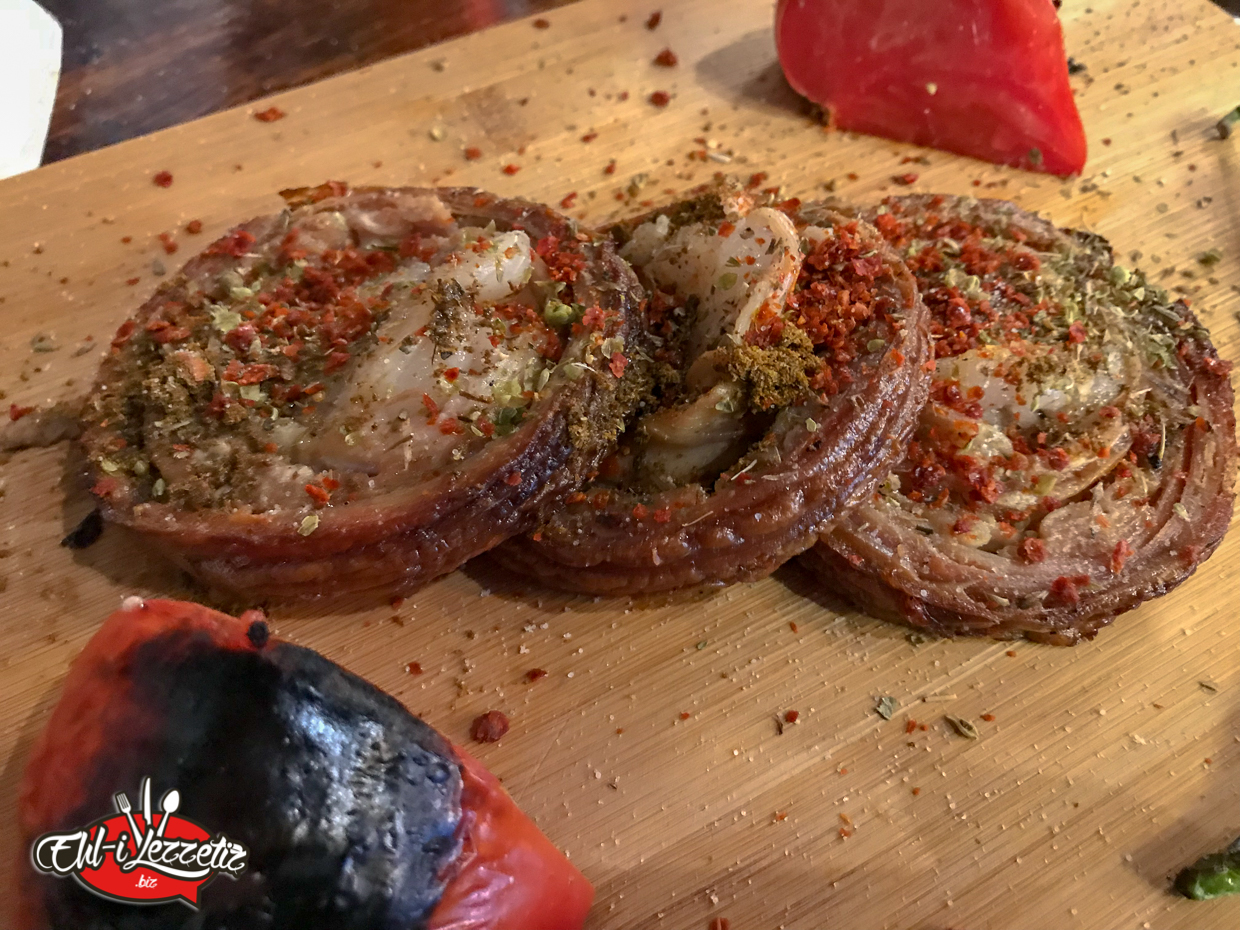
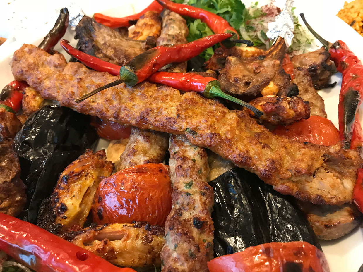
Ayvalık is a district rich in natural beauties and is also famous for its cuisine. The most important food specific to the district is Ayvalık toast prepared with ingredients such as sausage, sausage, cheddar, pickles, mayonnaise, ketchup. Another important food is the Hoşmerim dessert, also known as Höşmerim, which is widely made in the whole province of Balıkesir. Grilling a fish species known as papalina (sprat fish), which is usually consumed as an appetizer, and frying with flour in olive oil are also considered among the important dishes of Ayvalık. Due to the fact that it is on the seashore, appetizers made from seafood and dishes with olive oil form the basis of Ayvalık cuisine. Recently, olive ice cream has also been the center of attention in Ayvalık.
Cultural and Natural Riches
Sarımsaklı Beaches: These are the beaches on the Aegean Sea coast in Küçükköy town of Ayvalık. The beaches, which are 6 km south of Ayvalık city center, are 12 km long.
Alibey Island: It is the only island that is included in the Ayvalık Islands group and is open to settlement. Thanks to a bridge built in 1995, it is possible to cross this island by road.
Ayvalık Islands: The archipelago whose largest is Alibey Island. These islands have been declared national parks and are not open to settlement except Alibey Island.
Devil’s Table: An ancient lava deposit located on the large rocky hills overlooking Ayvalık, with a view of all the Ayvalık Islands and Island, and believed to have Satan’s footprint on it.
Mosques and Churches[değiştir]
A view from Ayvalık traditional camel wrestling
Agia Paraskevi Monastery A small part of this monastery on the island of Tımarhane remains, which is located in the innermost part. There are all kinds of legends about this place. One of them is related to the fact that the tomb of the Virgin Mary is located here. Although the monastery, which was damaged by many treasure hunters, is now in ruins, it is of interest to local and foreign tourists and attracts hundreds of people every summer.
Saatli Mosque (Agios Yannis Church): It is located in İsmet Paşa Neighborhood in the district center. It was built as a church and converted into a mosque after 1928. After it was converted into a mosque, the icons inside were covered with paint. In the earthquake of 1944, the top of the belltower was destroyed.
Taksiyarhis Church: A church built in 1873. The bell in it, II. During the years of World War II, it was removed from its place and used to inform the public. Later, it was revealed that this bell was the largest bell in the world.
Hamidiye Mosque: Located in the Sakarya Neighborhood, this mosque is the only original work made as a mosque reflecting the historical value of Ayvalık. Sultan II. By Abdülhamit 19. It was built in the second half of the century. There are also claims that the person who built the Yorgala Hotel had to gift it to the management of the time. It is built of red stone, square plan, its dome is made of brick.
Ayazma Church: The name of the church in Kemal Paşa Neighborhood comes from the fact that the water in it is accepted as sacred. Ayazma literally means holy water. A late building in the neo-classical style, built in 1890. The entrance to the church is reminiscent of Greek temples. The church, which used garlic stone as a building material, was used as an olive oil factory for a period of time and different additions were made. That is why in the interiors it has completely lost its monumental properties. Today, the church was expropriated to become a museum.